The map below depicts T8 time:
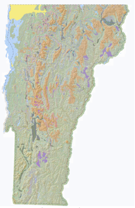
The yellow color designates the T8 footprint, again, per this Addendum study, now believed to be confined to the floor and north flank of the Missisquoi Basin, as marked by readvance features, bouldery, fresh-looking ground moraine, and Ice Tongue Grooves at the mouth of the Basin. The T8 margin and time clearly postdate the initial Champlain Sea incursion. As noted in my report, Cronin et al have dated this incursion as about 13 KABP. Thus, again as discussed above, the entire Lobate Phase deglacial history of Vermont from T4-T8 time took place in about 800 – 1000 years, between about 14-13.8 and 13 KA BP. Of course, this indicates that the recession of the Champlain lobe in T7 and especially late T7 time took place in an even shorter amount of time, which to me is astounding, supporting usage of the term “collapse.”
The readvance evidence in the Missisquoi Basin includes glacial till overlying Champlain Sea delta sands and as well silt and clay bottom-set materials likewise overlying topset deltaic sands. This evidence suggests that the readvance may have closed the basin, and re-established Lake Fort Ann, as Parent has recently suggested. Some evidence of a fine-grained sediment veneer on Champlain Sea deltas at the marine limit has been found elsewhere in the Basin, south of the Missisquoi, which is compatible with an early phase of the Sea. However, much of the Champlain Sea record does not show such evidence, which may be explained by these having formed in the later, second phase.