Very substantial, pronounced linears are found on the Basin floor in the area southwest of Vergennes, depicted by the dotted black lines, on the following map :
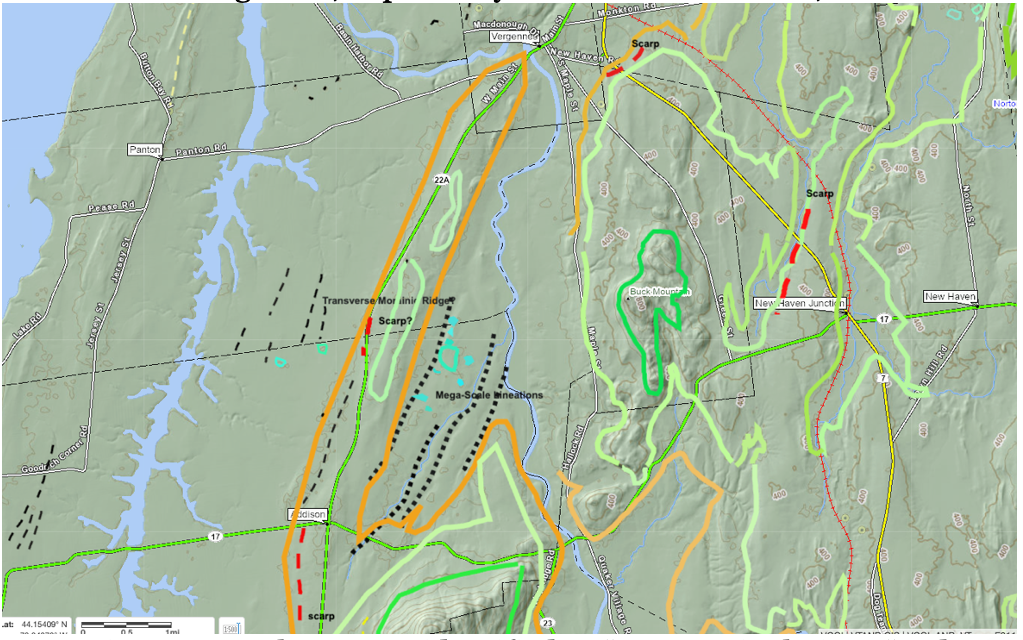
In my previous report these were identified as “Ice Marginal Lines “and considered as possibly marking an ice margin or alternatively possible Mega-Scale Linears. These linears were studied by the recent field visits and are discussed below, which confirmed the latter interpretation.
Other linears are also identified on LiDAR imagery on the basin floor as marked by thin black dashed lines on VCGI maps, but were not studied.
Similarly, on the basin floor in the Ferrisburgh vicinity are additional linears, as shown on the following:
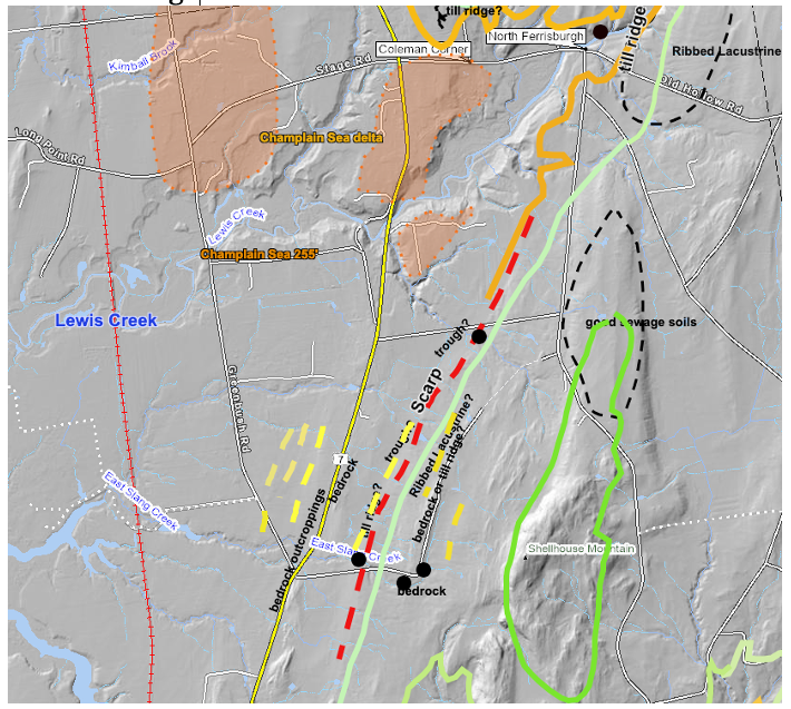
These features are marked by the yellow dashed lines. The dark green lines represent the early T 7 ice margin and the light green the late T7 margin. The orange line represents the Champlain Sea strandline. Also, the red dashed line marks a Scarp. As can be seen, the yellow dashed line linears occur at elevations both above and below the late T7 margin and the Scarp, These feature locations were examined in the followup field study but no evidence suggesting their presence or explaining their origin was found. They are believed to be Mega-Scale Lineations, but their origin remains uncertain.