“Imagination is more important than knowledge… knowledge is limited … imagination embraces the entire World.” “Logic will get you from A to B. Imagination will take you everywhere.”– Albert Einstein
“The man who has no imagination has no wings.” – Mohammed Ali
“Stories of imagination tend to upset those without one.” – Terry Pratchett
“Imagination will often carry us to worlds that never were. But without it, we go nowhere.” – Carl Sagan
“You can’t depend on your eyes when your imagination is out of focus”. – Mark Twain.
“Every great advance in science has issued from a new audacity of the imagination.”— John Dewey
Author’s Note
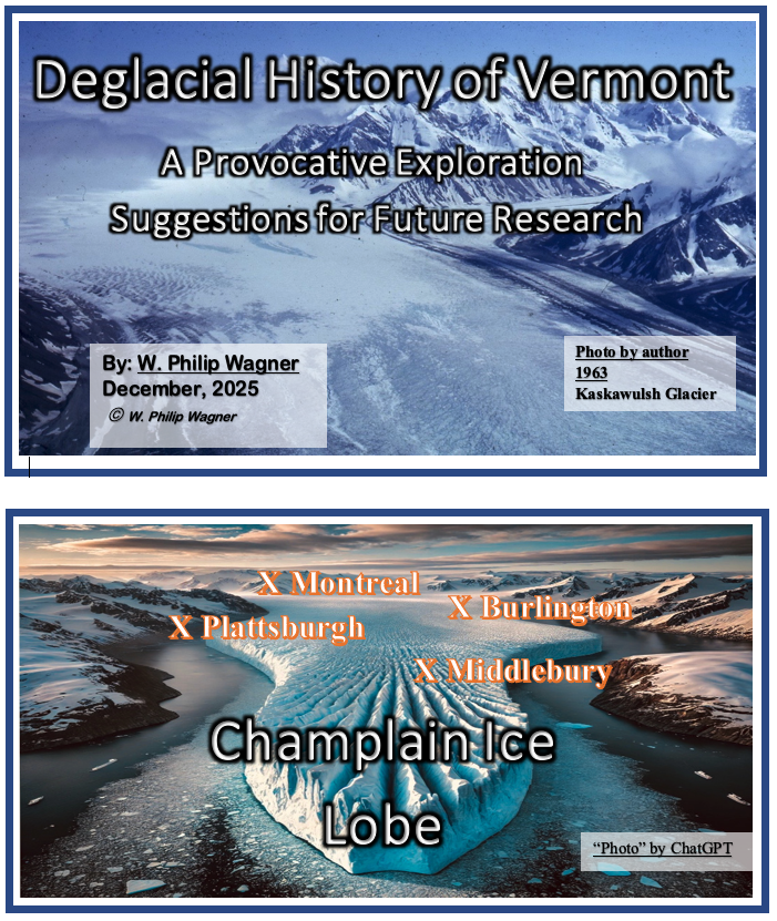
This is the story of the deglacial history of Vermont, specifically the identification, mapping, and correlation of ice margins across the entire State, including correlations with neighboring Quebec, New York, and New Hampshire. This has never been done before. When I first began my career at the University of Vermont (UVM) a long time ago, from 1966 – 1980, I labored long and hard but failed to decipher this history. In 1972 I published a report which primarily presented information about proglacial strandline water levels in the Champlain Valley, with more detail but basically the same as presented previously in reports by Chapman in the late 1930s. My 1972 report briefly referred to intriguing information in the Missisquoi Valley suggestive of a readvance of the ice margin in Champlain Sea time and the associated brief re-closing of the Missisquoi Valley. However, despite the fact that my mapping extended across Vermont, basically from the Quebec border to the Middlebury area, I was unable to decipher deglacial history, specifically meaning the receding positions of ice sheet margins.
Two years ago on a bike ride in the Missisquoi Valley I came across glacial features that I had seen in the late 1960s, reminding me of the readvance evidence. Over the years I have kept up with the literature and realized that the Missisquoi features unfortunately have been forgotten. This prompted me to write an open letter to the Vermont State geologist as a reminder about these features and the prospect for significant information about deglacial history in this area. Further, on a whim, I then decided to examine online information provided by the Vermont Center for Geographic Information (VCGI) for the Missisquoi and Memphremagog areas. This was intended to be brief and just for fun.
Of course, VCGI and its information did not exist in the 1970s. Back then, mapping was done the old fashioned way with a USGS map and a shovel; in the Missisquoi area back then the best map available was a 1”: 62,500” scale USGS topographic quadrangle map with 20 foot contours, which is extremely limited. Today, advances in digital technologies have dramatically changed the process of mapping. VCGI’s digital maps are “zoomable” to a scale up to about 1:3,600, nearly 20 times better than the 1:62,500 maps, with 10 foot contours. This is a huge improvement. VCGI also makes a variety of other types of information available online, such as Stewart and MacClintock’s statewide glacial map (these authors did not identify and map deglacial history showing changing positions of ice sheet margins, but their map and associated report contains a wealth of useful information). VCGI likewise presents other helpful information such as Vermont Highway Department soil boring aggregate maps, and the Soil Conservation Service soil type and onsite septic favorability soil maps. VCGI also provides LiDAR imagery, which of course as is now well known for glacial geology is a dramatic technology enabling the identification of features on the landscape never before been seen. From the standpoint of studying glacial geology all of this is a huge improvement from my old days.
As stated in this present report below, my chance bike ride encounter in the Missisquoi and my following examination of LiDAR imagery proved to be a “slippery slope.” Fortunately, I still have my field notes, maps, and memories from those early days. The bulk of my early findings have never been published. With the benefit of LiDAR and other modern technology, a review of Vermont and neighboring literature, plus limited new, recent field mapping, as reported here, I have revisited this subject, leading me to a better understanding of the Pleistocene for the entire State of Vermont. I am now able to see Vermont glacial geology with new eyes. I have identified many different types of ice margin features, including features which mark the receding ice margin and show the manner of ice sheet recession, such as calving ice margins and large scale en masse stagnation related to physiography. I was able to correlate features across the entire State of Vermont, so as to delineate multiple ice sheet margins marking the recession of the ice sheet and as well correlate these with reported features in Quebec, New York, and New Hampshire. This shows the early development of nunataks in a “Nunatak Phase” and the progressive development of lobes, in a “Lobate Phase,” as depicted in great detail on maps for various “Locales” and as well more generally on Statewide ice margin maps. Further, I was able to identify and trace the readvance ice margin I had long ago recognized in the Missisquoi Valley, related to moraines nearby across the border in Quebec. This represents the last presence of the ice sheet in Vermont. This readvance occurred shortly after the opening of the Champlain Sea in Vermont which has been dated as about 13,000 years BP. Similarly, I was able to identify and map the earliest ice margins which can be correlated with features reported by others in New York and New Hampshire, including the White Mountain Moraine System, which has been identified as a readvance, dated as about 13,800 -14,000 years BP. Thus, the deglacial history of Vermont was bookended by readvances which took place at a late time in deglacial history with recession which was quite rapid. Further, the evidence, as reported here, as just stated indicates that this recession included large scale en masse stagnation of large portions of the ice sheet in the Connecticut Valley and as well the development of calving ice margins in the Champlain Valley. The evidence shows this recession in great (almost overwhelming) detail.
It turns out that this is a multifaceted story. It is of course fundamentally a history story. During the course of my study I had an epiphany, actually a series of multiple epiphanies My entire journey through Vermont’s late Pleistocene was a continual learning process, with many such “epiphanies” along the way. This report explicitly refers to such insights. For me, the realization that Vermont deglacial history came so late in the last glaciation, and occurred so rapidly was unexpected and quite surprising. But even more so is the information learned about how this occurred. This is essentially a story about the collapse of the ice sheet as it receded in Vermont, which is highly pertinent to modern day concerns about global warming. This story provides important insights which build upon and relate to recent findings about the nature of such collapses for present day ice sheets in today’s global warming. For me personally, while I love history and see my findings about Vermont’s deglacial history as important, the findings about how this took place, essentially the collapse of the ice sheet in Vermont, in the context of my concern for present day global warming, takes on an existential feel. In my opinion, this entire story, including the deglacial history and as well the ice sheet’s collapse deserves to be recognized and further studied.
I am pleased by my findings, by what I have done, and what I have learned, my curiosity now finally being satisfied. But I have a problem. The telling of this story has now become like a book, so long, so convoluted, so filled with facts, thoughts, and ideas, both tiny and large, as is the nature of LiDAR-based research, making this a difficult read. Added to this are references to the names of villages, streams, drainage basins, and the like, with which most readers are unfamiliar, making this foreign and unfamiliar territory, compounding the readability challenge of this report. This outcome, its length and detail, reflects the fact that my study uncovered totally new information which I first had to study and explore and thereby decipher. This was the case for example for the identification of new types of ice margin features, such as “Scabby Terrain,” “Ice Tongue Grooves,” and multiple types of calving ice margin features, which are new and different puzzle pieces. Understanding the meaning of these features required me to study and learn their historical context. And likewise the telling of these features as well required advance explanation of the related history, even before the portion of my report describing this history, which led to redundancy and an even longer report. And for me, my problem was compounded by the fact that I found it necessary to write as I studied, having no idea where this was taking me. So, my report follows a path carved by the logic of discovery. Further, in writing this report I felt compelled to provide the evidence and basis for my findings so that the reader can judge their merit, leading to even more detail. I tried to improve this by using appendices for background information, but still this “book” is a long and difficult read.
Of course, I have edited and refined my findings, again and again. I liken this to a complex three dimensional puzzle in which overlapping, time transgressive temporal and spatial elements are part of the puzzle. Editing and refining itself is never ending; a new and better way of expression always and inevitably emerges, again and again, often with still more insights. Suffice it to say, this report is far too long, too convoluted, too complex, too “local,” etc. Most people with an interest in the subject simply will not be willing or interested enough to plough through this tome. Me too – I find it difficult to dig into and follow my own findings and writings. But again, the basis for my findings is provided by details, which I felt are needed given that this is the first comprehensive overview of the deglacial history for Vermont in its entirety, and introduces many new findings never before recognized.
I see the need for a condensed summary of the essential findings of this report. Unfortunately, at my age, at this point in my life, I do not see myself as carrying this forward. I’ve done what I could, as best I could, and am ready to move on. I will always look back through this journey with pride and satisfaction, that finally I now better understand this story. But, this story is not finished, as it never can be. Nevertheless, it’s time for me to move on. I invite someone else to take on the task of putting this story together in a more condensed and palatable form, preferably in conjunction with an academic program, preferably with students. Of course, I am available to help.
Regardless of whether or not a summary report is developed, this web site presents findings that will stand as part of the literature. As is the case for much of the work that has been published since my time at UVM, these findings are not peer reviewed and thus need to be tested. But as is the nature of story-telling done in a thoughtful, studied way, now told this story exists and can only be ignored to the extent it is flawed, and otherwise to do so reflects the ignorance and failing of the reader.
A hard copy pdf file of this tome is available, which can be provided through my email address: Vermonticeman@gmail.com.
W.Philip Wagner – Shelburne, Vermont December, 2025